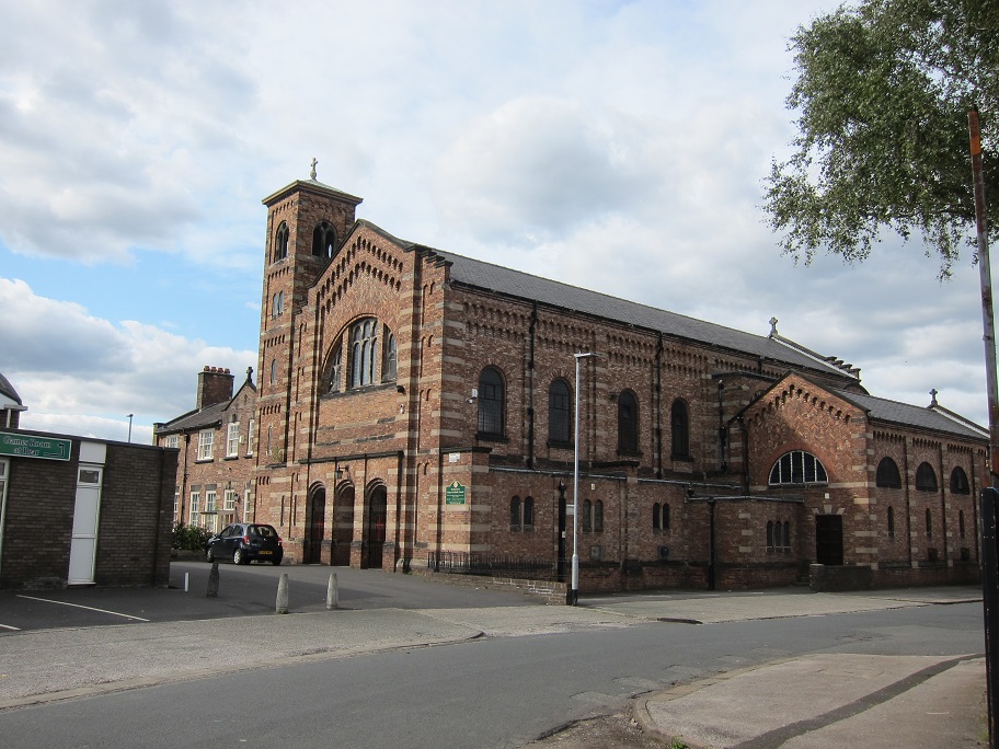
St Ann's in now part of the Parish of Warrington from 1 March 2026 which operates over a much wider area.
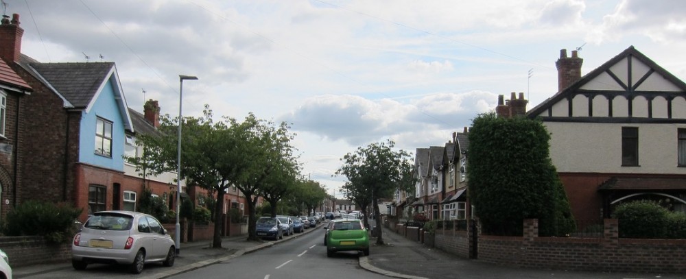
Below is the former boundary of the parish up to 1 March 2026.
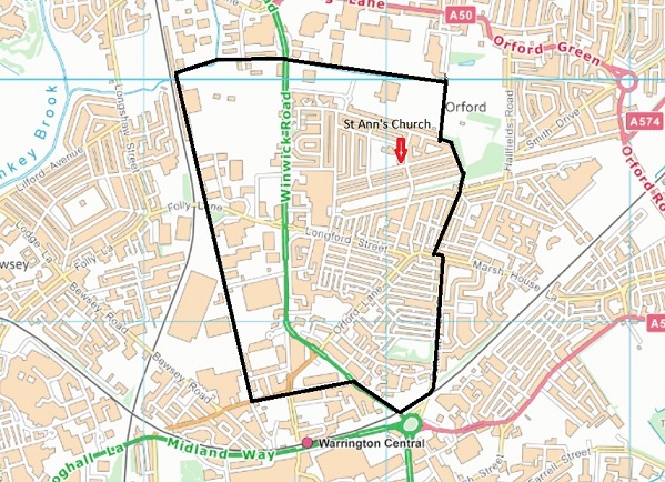
Map : Contains OS data © Crown copyright [and database right] 2015
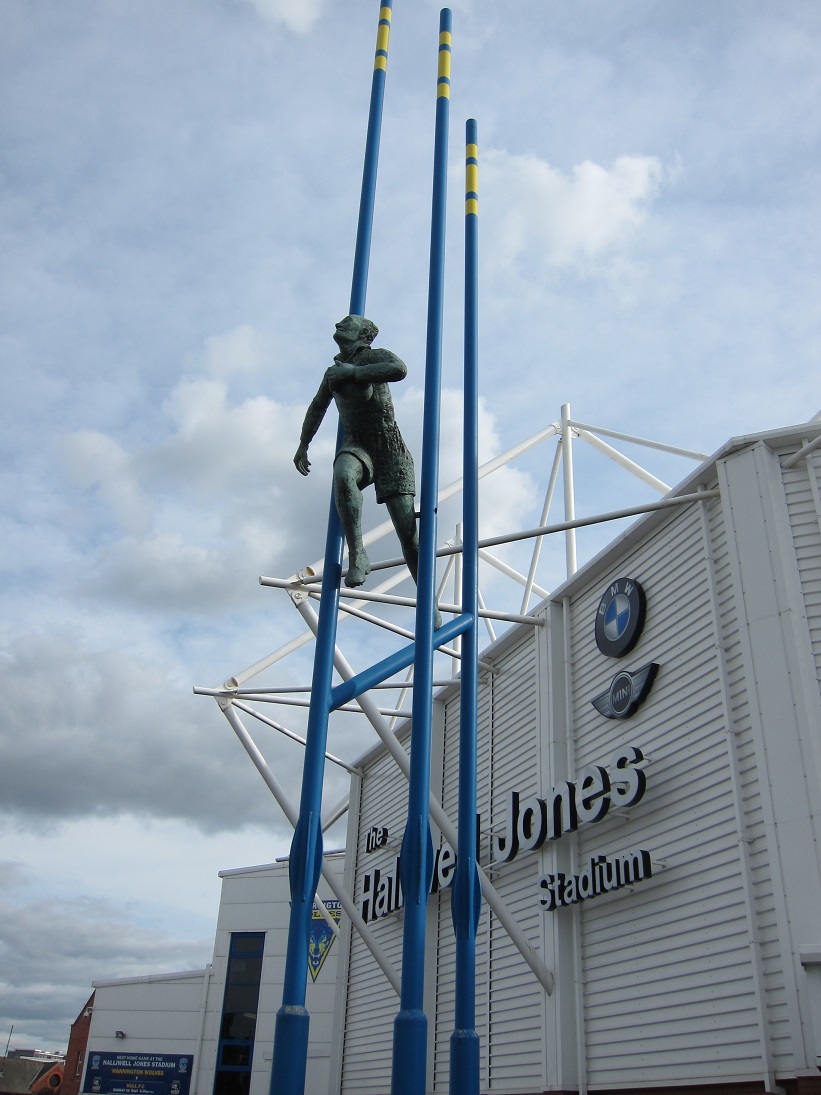
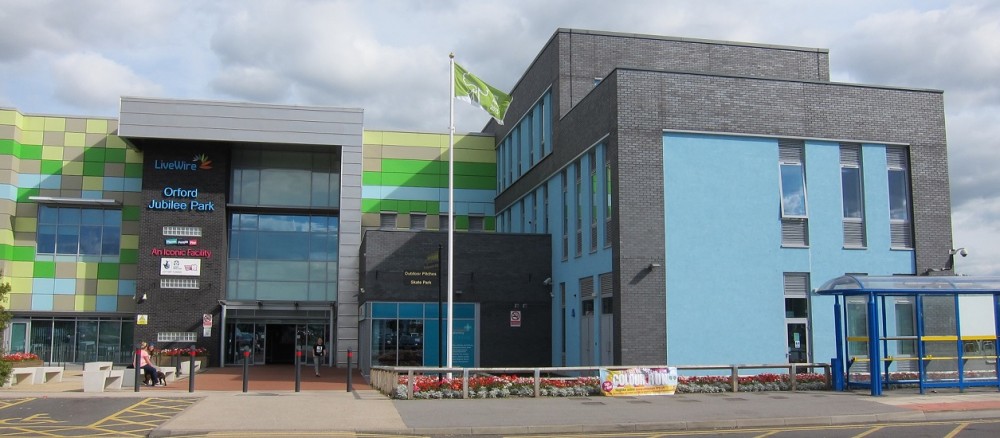
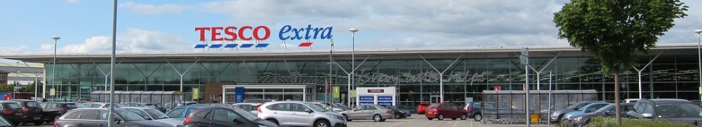
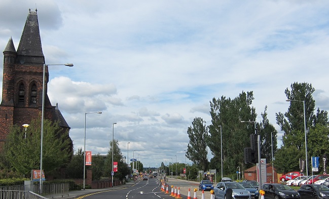
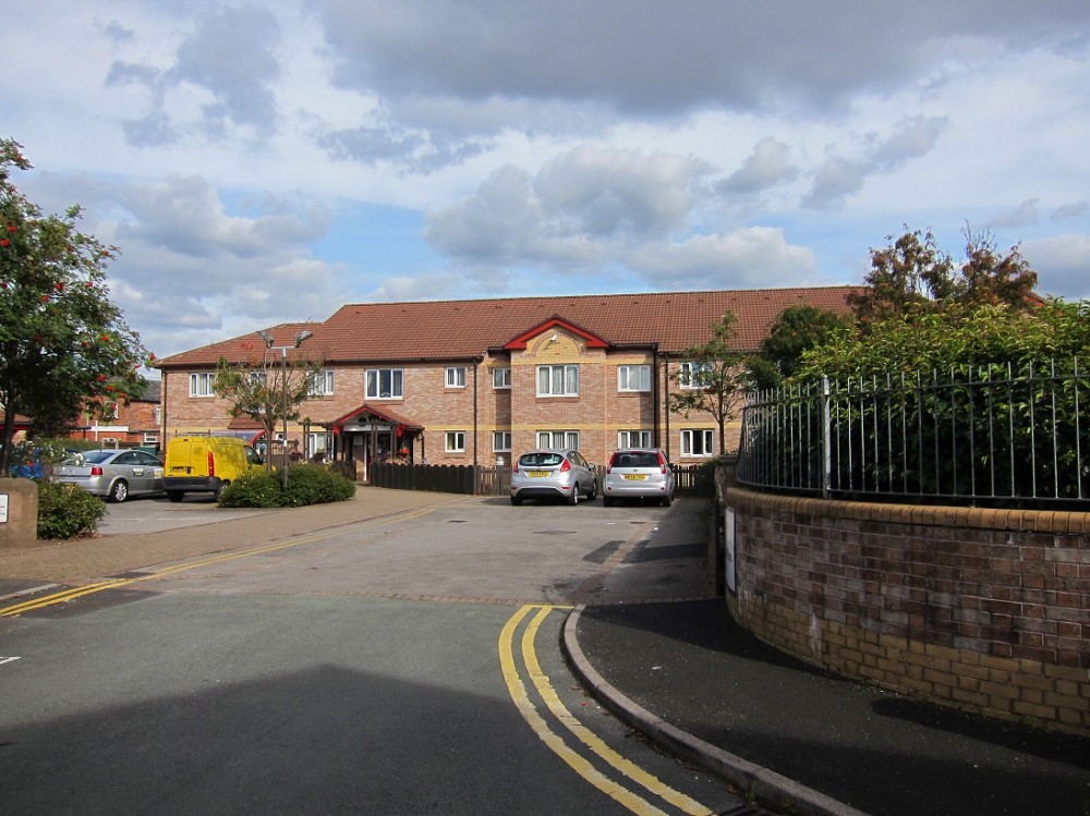
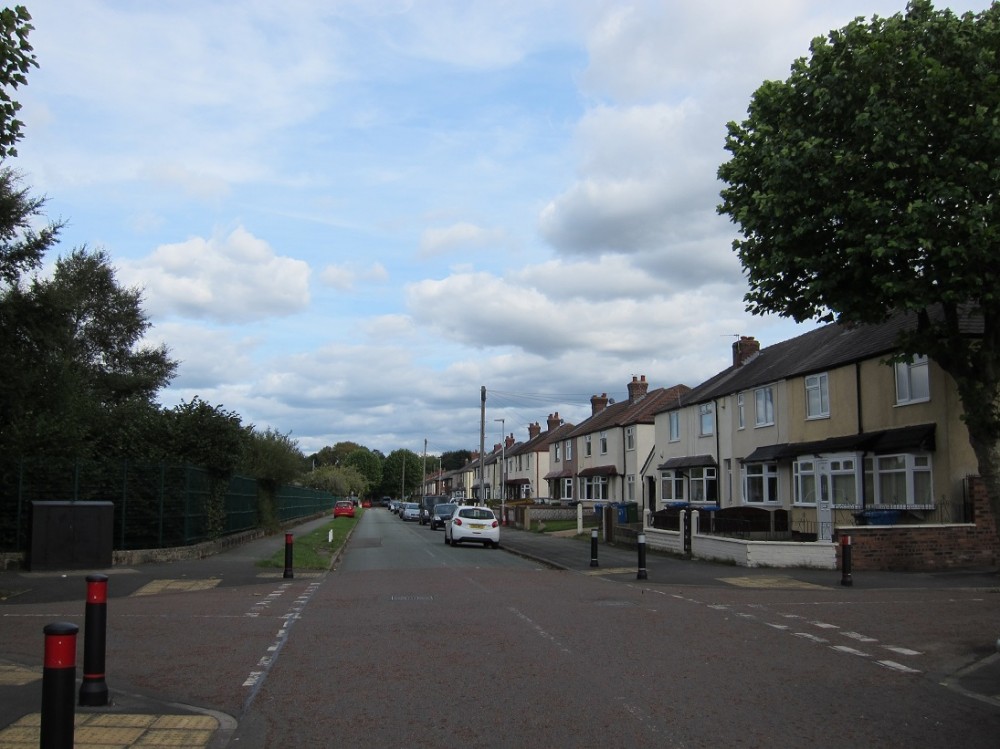
The fomer parish included the Orford Neighbourhood Hub, Warrington Rugby League Stadium, Retail parks, and an area of housing.
 |
|
Prayer Diary
Day 1 Orford Lane & Longford Street
Day 2 Houghton Street
Day 3 Winwick Road
Day 4 St Peter's Way & Court
Day 5 Annie St. & Hardy St.
Day 6 Scott St. & Chorley St.
Day 7 Cobden St & Sharp St.
Day 8 Winifred St.
Day 9 Laira St. & Laira Court
Day 10 Battersby Lane
Day 11 Dickeneon Street & Leonard St.
Day 12 Forshaw St. & Cyril St.
Day 13 Earle St, Clegge St & St Benedicts Cl.
Day 14 Dudley St & West St.
Day 15 Hale St. & Melville Close
Day 16 Watkin Street
Day 17 Fitzherbert St & Dorothea St.
Day 18 Alamein Cres. & Arnhem Cres
Day 19 Cowdell St.
Day 20 Cross St. & Forster St.
Day 21 South Ave & Vale Ave
Day 22 Shaws Ave & Mortimer Ave
Day 23 Central Ave & Latham Ave
Day 24 Alder Lane, Alder Cres & Flats near Winwick Road
Day 25 Adam St. & Amelia St.
Day 26 Orford Ave
Day 27 Rhodes St. & Synge St.
Day 28 East Ave & West Ave
Day 29 Corbert Ave & Ireland St.
Day 30 North Ave & Grace Ave
Day 31 For all the churches in our Deanery, St Benedicts RC, St Margarets, St Stephens RC & St Andrews.